See It In Action
Watch how OverlayApp transforms PDF overlay workflows
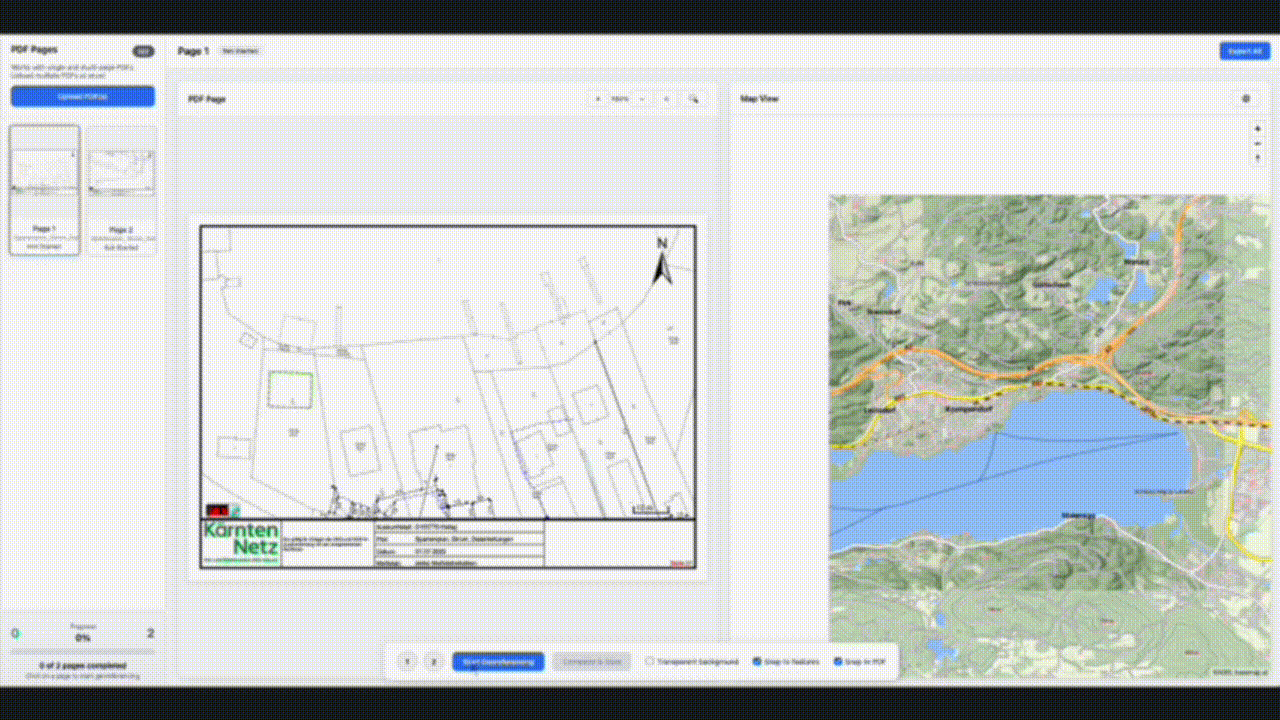
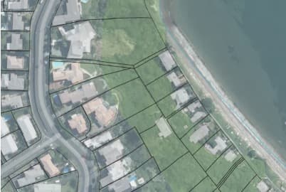
Upload Your PDF
Drag and drop your OneCall or BeforeUdig PDF. OverlayApp instantly displays it alongside your cadastral map view.
- Supports multi-page PDFs
- Automatic georeferencing detection
- Side-by-side comparison view
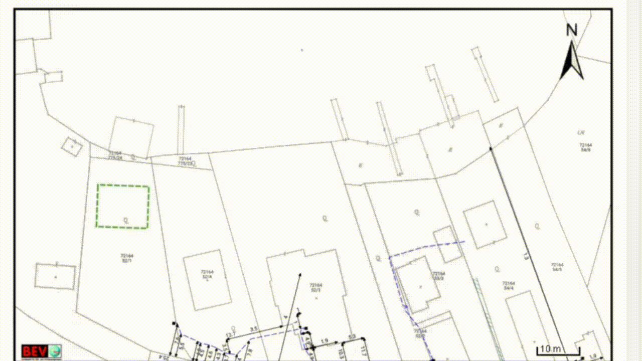
AI Detects Boundaries
Machine vision identifies cadastral boundaries, property lines, and reference points from your PDF with sub-meter precision.
- Computer vision recognition
- ASCE 38-22 compliant accuracy
- Confidence scoring for each detection
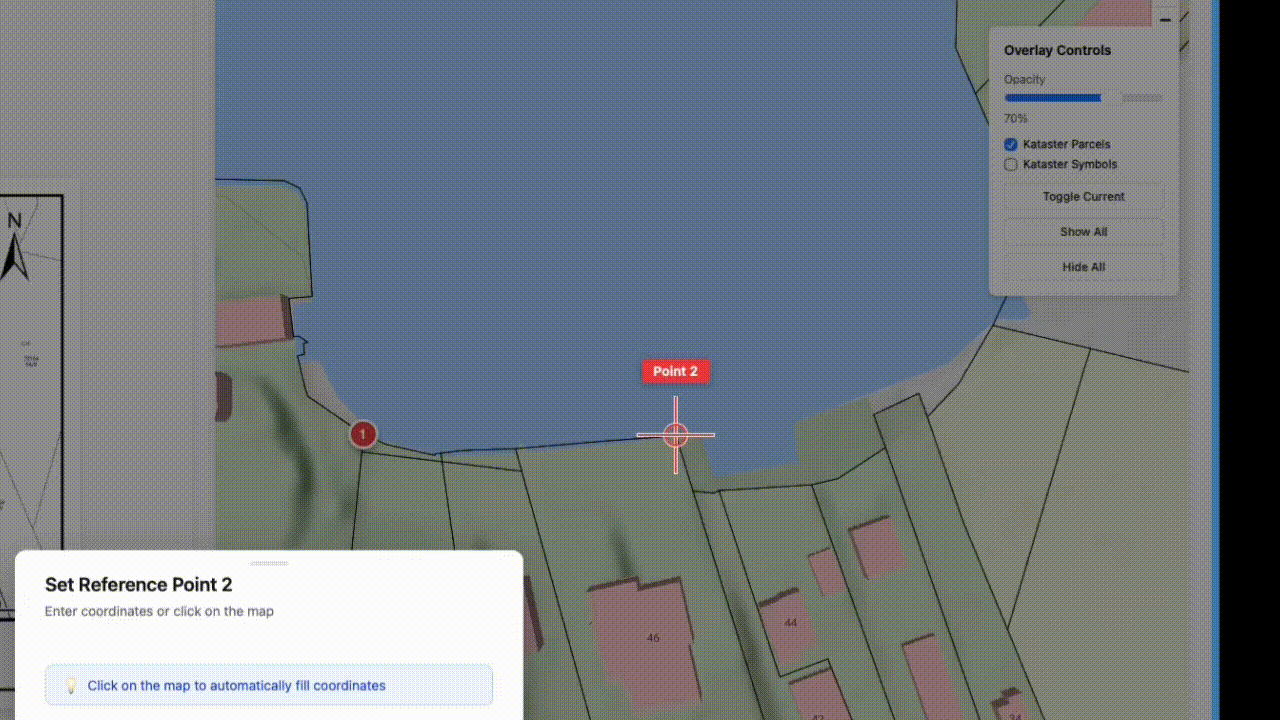
Snap to Reference Points
Set reference points and watch OverlayApp automatically align your PDF overlay with survey-grade precision in seconds.
- Two-point automatic alignment
- Real-time coordinate validation
- Manual fine-tuning available
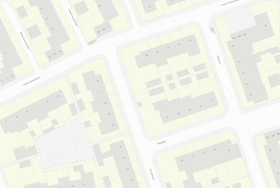
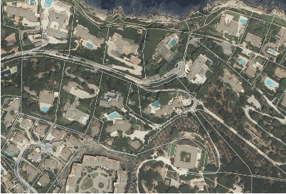
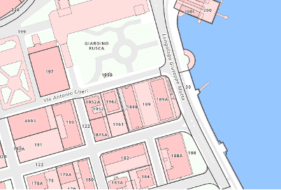
Global Basemap Coverage
Official cadastral vector basemaps in many countries
Austria – BEV Maps with Parcels
Official data updated daily. Vector Basemaps including cadastral data.
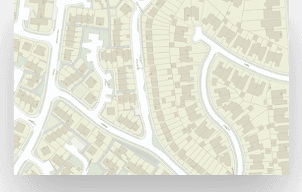
UK – OSGB Vector Maps
Ordnance Survey data with detailed property boundaries and land registry integration.
Netherlands – Kadaster Parcels
Official Kadaster land registry data with precise parcel boundaries.
NZ Ortho with Parcels
LINZ Basemaps providing up-to-date Parcel data.
France – IGN Aerial with Parcels
IGN orthophotos with DGFiP cadastral parcel overlay.
Switzerland – swisstopo Parcels
Federal swisstopo basemaps with cantonal cadastral surveying data.
Our platform integrates with official surveying and mapping authorities worldwide to provide accurate, up-to-date cadastral boundaries for precise PDF overlay alignment.
Easy Georeferencing
Upload your PDF and place control points on an interactive map to georeference your documents.
Real-time Collaboration
Work together with your team. See changes in real-time and manage permissions easily.
Cloud Storage
Your PDFs and overlays are securely stored in the cloud with automatic backups.
Everything you need for professional mapping
Interactive Maps
View your overlays on high-quality interactive maps
Fast Processing
Process large PDFs quickly with our optimized engine
Enterprise Security
Bank-level encryption and SOC 2 compliance